The saying is 'April Showers bring May Flowers' but it appears that more than just rain could be coming to the Parkland.
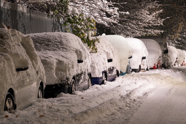
A winter storm watch is in effect. Major spring blizzard poised to wallop southern Manitoba and southeastern Saskatchewan mid-week...with widespread snowfall accumulations of 30-50 cm accompanied by northerly winds gusting 70-90 km/h giving zero visibility at times in snow and blowing snow.
A Colorado low will move towards Minnesota Tuesday night bringing a heavy swath of snow from southeastern Saskatchewan through most of southern Manitoba. The snow will start early Tuesday evening near the International border and then push northward throughout the night. By Wednesday morning heavy snow will be falling in much of the area as the storm continues to push northward, and snow accompanied by strong northerly winds is expected to continue right through to early Friday morning as the low slowly pivots through Minnesota on its way into northwestern Ontario.
By Friday morning widespread snowfall accumulations of 30 to 50 cm are expected...with possible accumulations approaching 80 cm in the higher terrain of western Manitoba and the western Red River Valley.
Travel will become increasingly difficult as the day progresses Wednesday, with widespread highway closures a near certainty. By Wednesday evening even travel within communities may become impossible as the heavy snow and strong winds continue... and more of the same is expected on Thursday.